
.png) GEOGRAPHICAL INFORMATION SYSTEMS EDUCATION
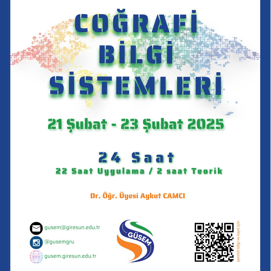
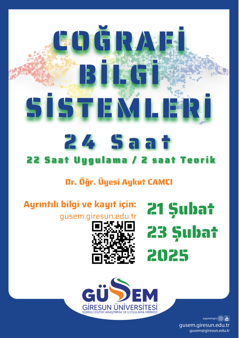
Our registrations for the 24-hour GEOGRAPHICAL INFORMATION SYSTEMS Training to be held on 21 - 23 February 2025 are open.
To provide information to participants about Geographic Information Systems and to provide them with the ability to produce maps and make spatial queries using GIS software.
Dr. Öğr. Üyesi Aykut CAMCI
Trainings will be held between February 21 - 23, 2025.
*Classes will not be held on public holidays.
|
Day |
Hour |
Course Content |
|
21.02.2025 |
09.00-11.00 |
Theoretical information about the development and history of Geographic Information Systems, What is GIS? Areas of Use, Possibilities, Opportunities |
|
11.20-13.00 |
Basic Map Information, Projection and Coordinate Systems | |
|
14.00-16.00 |
Data Digitization: line, polygon, point | |
|
16.00-17.30 |
Data Display Functions. Raster Data and Vector Data | |
|
22.02.2025 |
09.00-11.00 |
Map Presentation |
|
11.20-13.00 |
Digital Elevation Model - Downloading DEM images and Creating Topography Map | |
|
14.00-16.00 |
Creating Slope, Aspect and Hydrography Map from DEM image | |
|
16.00-17.30 |
Converting Raster data to Vector data format and performing Area calculations | |
|
23.02.2025 |
09.00-11.00 |
Query with GIS (Select by Location, Select by Attribute) |
|
11.20-13.00 |
Geology, Soil and Vegetation Mapping | |
|
14.00-16.00 |
Production of Spatial Distribution Maps | |
|
16.00-17.30 |
Exam Application |
 To register; you can fill out the Training Registration Form.